Prototype for Urban Interface 2021
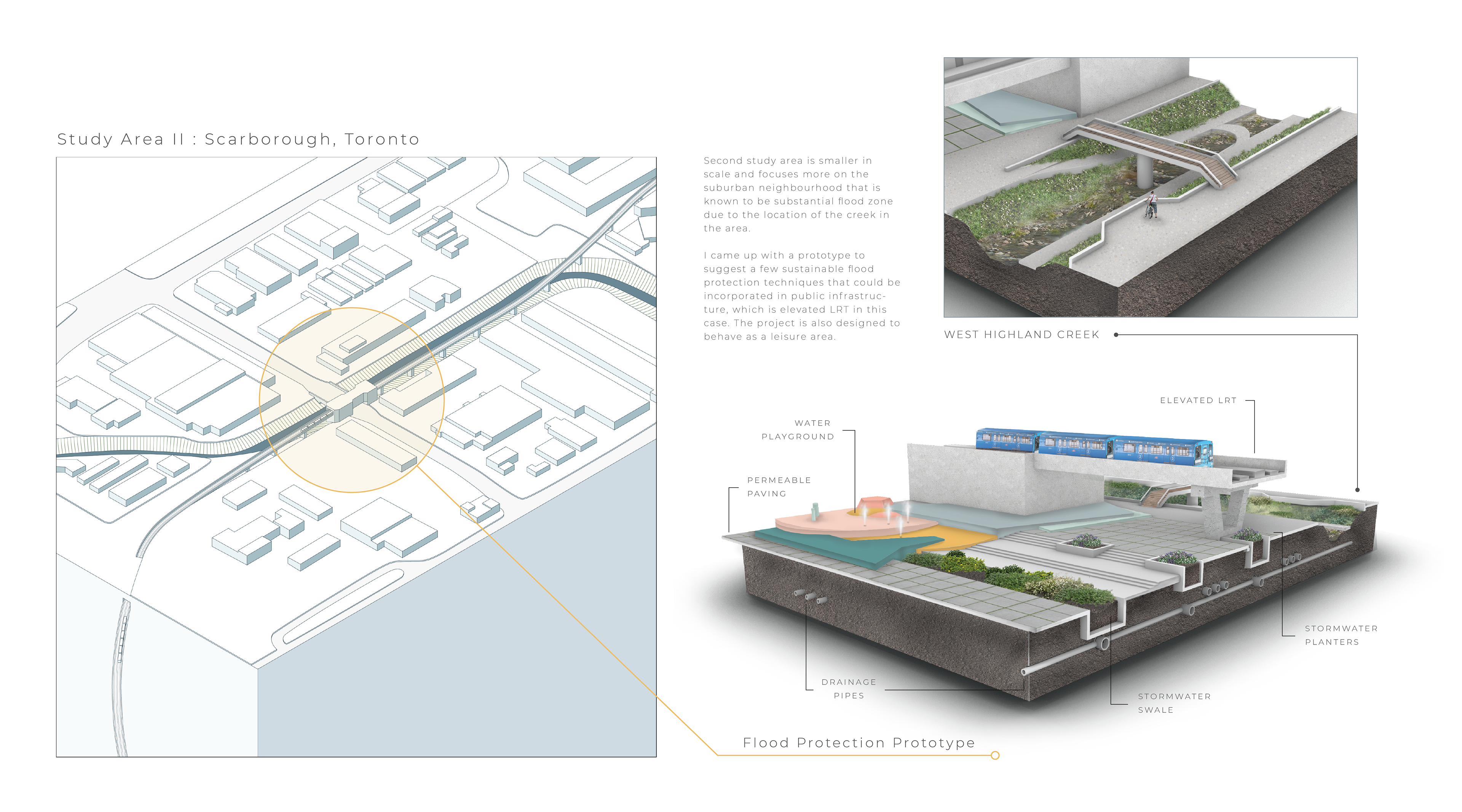
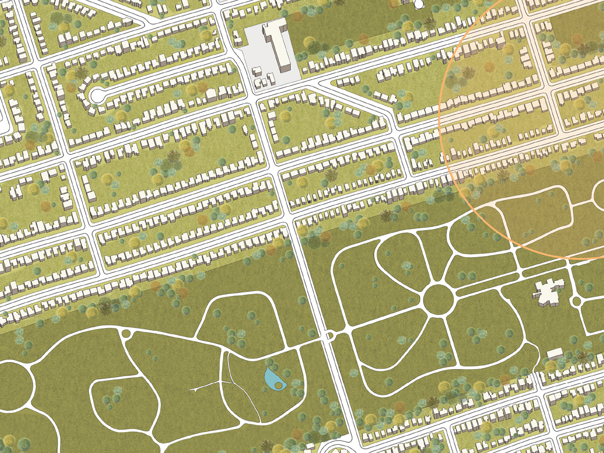
Site analysis project that studies substantial flood zones and their relationship to hydrological features that exist in the Greater Toronto Area. The final part of the project suggests an urban prototype that includes possible flood protection techniques that are sustainable and could be incorporated into building public infrastructure.
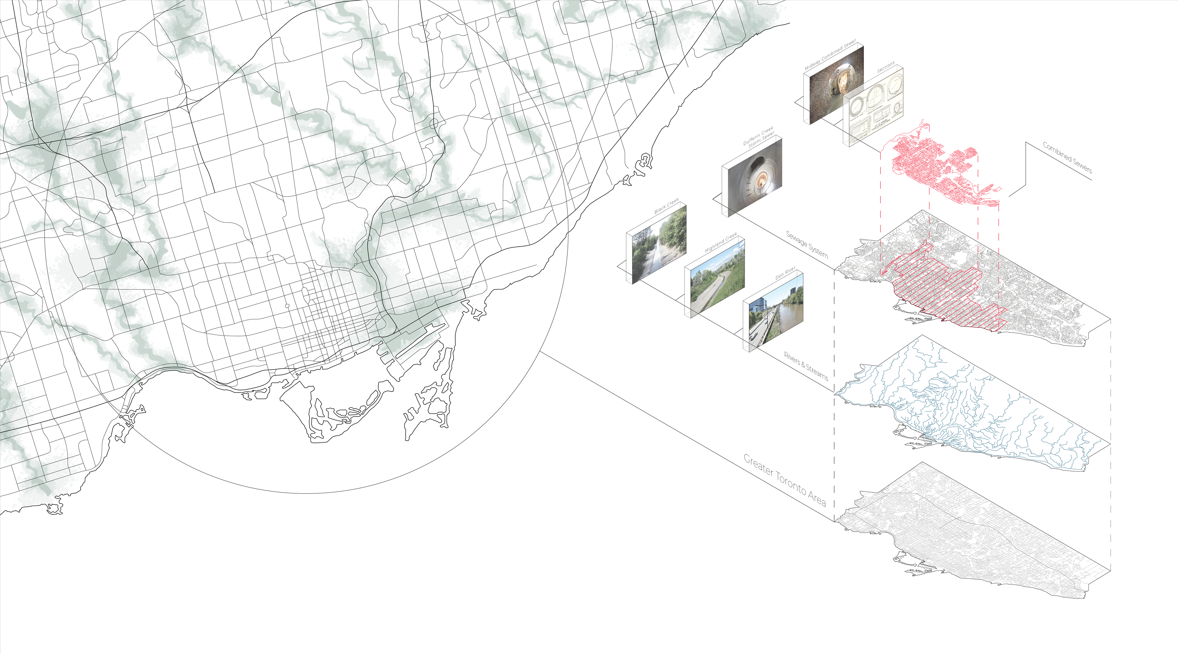
The first drawing splits the city into different layers to show where Toronto's sewage system, rivers, and streams are hidden underground.